Cincinnati's Snowfall Forecast Slight Drop for Thursday Night
The National Weather Service has updated its forecast for snowfall in the region, indicating that the amount of snow expected for Thursday night into Friday morning will be slightly less than previously anticipated. Cincinnati's central core is now projected to receive about 1 to 2 inches of snow, down from an earlier forecast of 3 to 4 inches. The most northern parts of Greater Cincinnati are expected to see less than one inch.
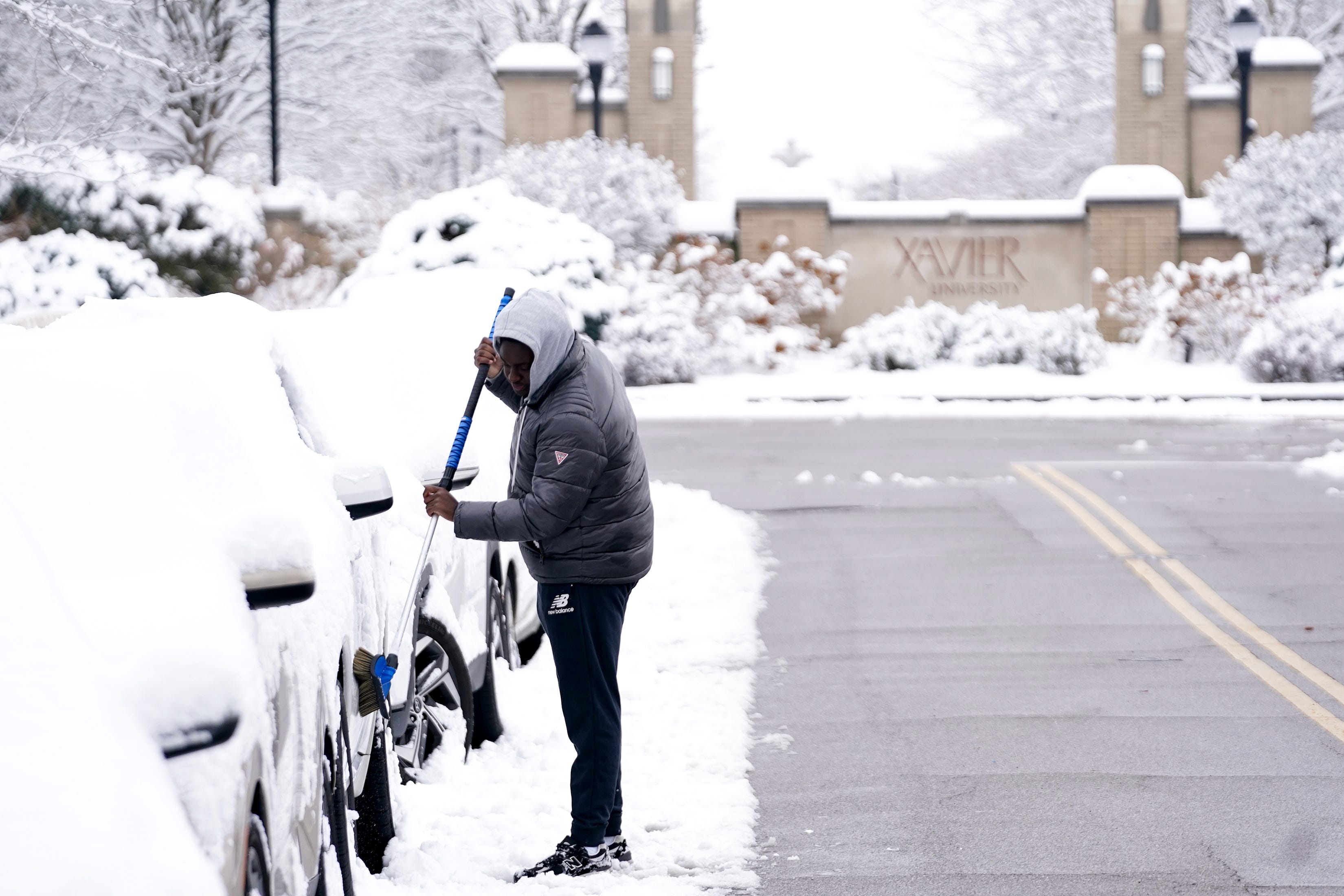
Although the total snowfall is reduced, some areas in Northern Kentucky are still expected to receive between 2 to 3 inches. Most of southeast Indiana is also predicted to get between 1 to 3 inches of snow. Light snow is expected to move into regions near and south of Interstate 70 around and after midnight between December 11 and 12. The heaviest snowfall is expected between midnight and 8 a.m. The weather service notes that this lighter snow could still impact the Friday morning commute, as roads may become slick and covered with snow.
Another update at 2:30 p.m. revealed that the amount of snow expected in Greater Cincinnati between Saturday and Sunday has increased. A winter storm watch, set to be in effect from 10 a.m. on December 13 to 7 a.m. on December 14, now indicates that total snow accumulations could range from 3 to 6 inches, up from the previous estimate of 2 to 4 inches. This watch covers most counties in south central and southwest Ohio, Northern Kentucky, and east central and southeast Indiana.
Residents are advised to consider altering their travel plans due to these conditions. If travel is necessary, it is recommended to carry a winter storm kit containing items such as tire chains, booster cables, a flashlight, a shovel, blankets, and extra clothing. Additionally, including water and a first-aid kit in the kit is essential in case of being stranded.
The city of Taylor Mill in Northern Kentucky has declared a snow emergency, which will begin at 5 p.m. on Thursday, December 11, and remain in effect until further notice.
Snow forecast from National Weather Service: timing, chances
9 p.m.: Slight chance (10-20%) of snow
10 to 11 p.m.: Chance (30-50%) of snow
Midnight: Snow likely (60-70%)
1 to 2 a.m.: Occasional snow (80-100%)
3 to 5 a.m.: Snow likely (60-70%)
6 a.m.: Occasional snow (80-100%)
7 to 8 a.m.: Chance (30-50%) of snow
9 a.m.: Slight chance (10-20%) of snow
Weather forecast for Cincinnati
Thursday: Cloudy, with a high near 34. West wind around 7 mph.
Thursday night: Snow after 9 p.m. Cloudy, with a low around 29. South wind around 3 mph. Chance of precipitation is 90%. New snow accumulation of 3 to 5 inches possible.
Friday: Snow before 10 a.m. Mostly cloudy, with a high near 38. Northeast wind around 3 mph. Chance of precipitation is 80%. New snow accumulation of 2 to 4 inches possible.
Friday night: Mostly cloudy, with a low around 25. West wind around 5 mph.
Saturday: Snow after 1 p.m. Cloudy, with a high near 31. West wind around 6 mph. Chance of precipitation is 80%. New snow accumulation of 1 to 3 inches possible.
Saturday night: Snow. Mostly cloudy, with a low around 4. Chance of precipitation is 90%. New snow accumulation of 3 to 5 inches possible.
Sunday: A slight chance of snow before 7 a.m. Mostly sunny, with a high near 13. New snow accumulation of less than half an inch possible.
Sunday night: Partly cloudy, with a low around 1.
Monday: Mostly sunny, with a high near 26.
Monday night: Partly cloudy, with a low around 18.
Tuesday: Mostly sunny, with a high near 36.
Tuesday night: Mostly cloudy, with a low around 29.
Wednesday: Mostly cloudy, with a high near 46.
Wednesday night: A chance of rain after 7 p.m. Mostly cloudy, with a low around 39.
Source: National Weather Service in Wilmington
This article originally appeared on Cincinnati Enquirer: Cincinnati's expected snowfall reduced slightly for Thursday night
Original coverage:
Residents are being urged to prepare for potential snowfall as two weather systems approach the region. According to the National Weather Service in Wilmington, each system could bring 2 to 4 inches of snow. A winter weather advisory is in effect starting at 7 p.m. on Thursday, December 11, ahead of the first system.
Cincinnati is expected to receive 2 to 3 inches of snow from Thursday night into Friday morning, with more snowfall anticipated in the southwest area of the city, specifically in Boone County, Kentucky, and Dearborn County, Indiana. Areas to the northeast of Cincinnati, like Dayton, are expected to see only 1 to 2 inches of snow.
Most of the snowfall is expected to occur overnight into the early morning hours. The heaviest snowfall is predicted to take place after midnight until 2 a.m., with possible additional snowfall around 6 a.m. The weather service warns that the Friday morning commute will be challenging.
Here’s a breakdown of the snowfall:
- From 7 p.m. to 1 a.m.: 1.2 inches of snow
- From 1 a.m. to 7 a.m.: 2.3 inches of snow
- From 7 a.m. to noon: 0.2 inches of snow
Snow chances on Saturday are highest between 1 p.m. and 1 a.m. on Sunday.

Post a Comment for "Cincinnati's Snowfall Forecast Slight Drop for Thursday Night"
Post a Comment